Links and Downloads
Published data
Mapped data
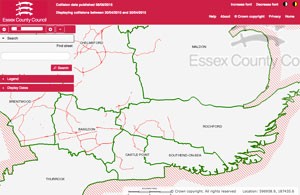
We use Traffweb to display road traffic collision data on an interactive map of Essex.
Published national collision data can be viewed at crashmap.co.uk
National data
All road traffic injury collision data for Great Britain is published by the Department for Transport. This data is usually updated every April for the previous calender year.
Download full STATS19 data (STATS19 is that national dataset used for recording injury collisions reported to police on the public highway).
View useful summaries of the data here
Downloads
Speed cameras
Collision and casualty data for permanent speed camera sites in Essex. (Microsoft XLS document)
Road user groups
Download our risk comparison tool (Microsoft XLXS document)
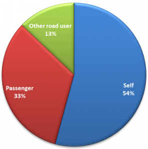
This Excel spreadsheet allows you to generate graphs showing casualties caused by different types of road user. Each road user type is defined by gender, age group and mode of transport. The tool also shows the risk of each road user type becoming a casualty themselves.

Ward profiles
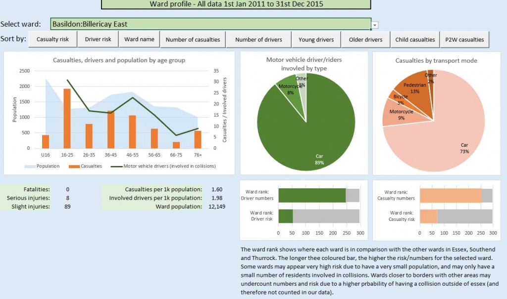
Download our ward profiling tool. (Microsoft XLSM document)
This Excel spreadsheet, which requires macros to be enabled, allows you to look up key road safety data for every ward in the county (including Southend and Thurrock), based on collisions ocurring in Essex involving residents of the selected ward.


